• ℹ️ Heads up...

    This is a popular topic that is fast moving Guest - before posting, please ensure that you check out the first post in the topic for a quick reminder of guidelines, and importantly a summary of the known facts and information so far. Thanks.

2018: Wicker Man - General Discussion - SPOILERS! - Part One

Status
This topic has been locked. No further replies can be posted.
I wondered if they quickly had to submit the planning permission as they have illegally build a pathway without planning permission, if they don't get the planning permission, will the new pathway be SBNO? :eek:
 
Weird how they could of almost built The Smiler without planning permission but need planning permission for a path...

The path will provide great views for construction of SW8. Look forward to walking down it at Scarefest. :)
 
If they conceal SW8 from Mutiny Bay a bit with foliage etc, they could push Gloomy Wood out all the way past Haunted Hollow to SW8.
That would go against the plans though. They state that the entrance, exit and shop will be in Mutiny Bay, and the newest planning permission application hasn't changed this.

I genuinely don't think SW8 will be in Gloomy Wood. I'd trust the official planning documents over the park map, personally.

:)
Yes, But if they did what I just said it would in what is currently regarded as MB but this area would become part of GW.
 
It'd make so much more sense for SW8 to just be part of Mutiny Bay for me. Seems like a lot of effort to connect to an area that isn't particularly close to it, compared to the area literally next to it.

And we all know Merlin love to save costs as much as possible :p
 
Given there's a planning application showing a planned plaza, entrance, exit, station and shop all in Mutiny Bay there's no hard evidence to suggest this will be a part of Gloomy Wood. SW8 coming under Gloomy Wood on the map really doesn't prove anything, and could easily be a typo. We all know how famous Towers are for communication between departments.

The proposed path will suit a useful purpose for this year while the path direct to Katanga Canyon is closed off, and this path could also prove useful during Scarefest/Fireworks where crowds can be dispersed more easily.

I know with these projects people get all excited and like to see/believe there are things being hidden and other possibilities, but in this case, there's nothing to see.
 
These new planning ammendments provide yet more proof that the entrance will be in Mutiny Bay and not around the back in Gloomy Wood. Yes they could in theory extend Gloomy Wood so that the SW8 entrance area was a part of it but that would be so illogical. Actually if it's illogical it's probably exactly what they are doing! :p

At the end of the day I would be very surprised if the theme of SW8 fitting in cohesively with any of Mutiny Bay, Katanga Canyon or Gloomy Wood.

:)
 
There is different reasons for adding a path. Maintenance access, emergency exit or staff access.
 
908112c158b3d285d46417f5939fca0a.jpg


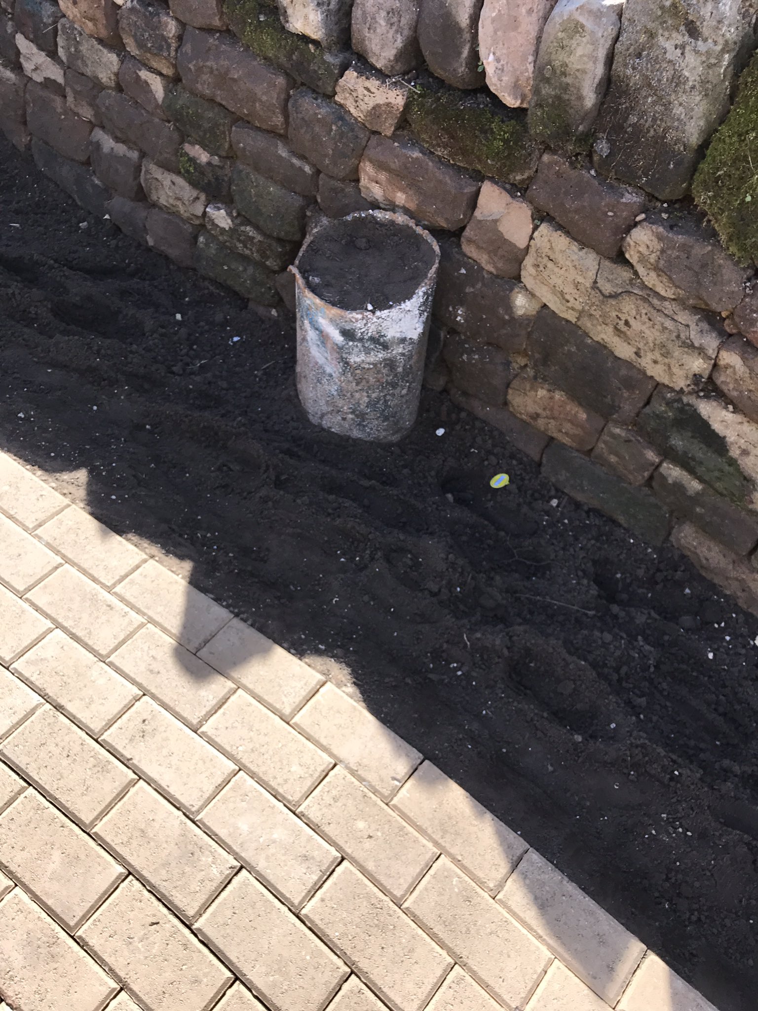
The path theyve added from SW8 to Gloomy Wood seems permanent, properly tiled with speakers and new planting along the way.

Now I've walked along it I can see how the two would link up together quite nicely.

Got a good view of all thats left of the Flume. Also a lot of concrete bases for the buildings and what looked like some sort of footers are in place.


Sent from my iPhone using Tapatalk
 
Although I didn't walk that path today, am I right in thinking it's the one (or similarly routed) that they used to use as a 'relief' path in past years when Adrenaline Week or other events were running? If so, I believe this pic taken by myself in 2006 shows pretty much the same view given above, but (worryingly) quite a few years earlier (where does the time go). Give or take a few metres angle etc obviously. I have another 3-4 similar ones of the ride from that path at the time. You can feel free to use them if you want on the site or wherever (I'll upload or send them if you're interested at all). Maybe it's a different angle though? It's all good.

DSC00636_zpsamzs9xlo.jpg
 
The new pathway starts on the Flume's disabled access route then heads up the hill, towards the location of the Flume's queueline shop where it joins onto the old staff path (fireworks/events relief path) past rapids, the boat shed building and yes the location those photos where taken.

Sent from my Nexus 5X using Tapatalk
 
Status
This topic has been locked. No further replies can be posted.
Top